

Geo-tagged photo app developed in Ireland to help smooth CAP payments
AgriSnap allows users to send land parcel pictures and information to the grant payments body in seconds to validate payments
 Print
Print17 November 2022
One of Ireland’s leading research and ICT Institutes has partnered with the Department of Agriculture, Food and the Marine (DAFM), Teagasc and farmers to develop a geo-tagged photo app to help ease the stress out of the Common Agricultural Policy (CAP) grant payments queries for farm families, not just in Ireland but also in Greece, Estonia and Austria.
AgriSnap, co-designed with key stakeholders, including farmers, agri-advisors and departmental staff, was developed at Waterford’s Walton Institute, in South East Technological University (SETU) with the help of funding from the EU Horizon 2020 research and innovation programme. The precision photo app allows users to send land parcel pictures and information to the grant payments body in seconds to validate payments.
Designed to reduce the need for stressful on-farm inspections and make payments under the new Integrated Administrative Control System (IACS) for administering CAP grants and the resolution of claim queries more seamless.
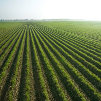
CAP accounts for just over 30% of the EU budget and farmer supports worth €60 billion annually. Direct Payments account for two thirds of this spend. These payments are linked to eligible hectares, valid agricultural activity, compliance with several environmental and management requirements and more. With over 6.2 million beneficiaries annually, technology to support timely and effective administration and validation is key.
As part of the Irish consortium, Walton Institute, in collaboration with DAFM and Teagasc, developed the AgriSnap hybrid application which is available on the Google Play and Apple iOS stores.
The application allows European Paying Agencies such as DAFM to send photo requests to end users, farmers, and their advisors. The user can return images to the Paying Agency with each image being tagged with key information including geolocation, timestamp, and device information.
The AgriSnap innovation is all part of the wider New IACS Vision in Action (NIVA) project led by Wageningen University & Research in the Netherlands. The international consortium includes 27 project partners, including nine-member state paying agencies all working together to develop and implement technologies that will deliver a more seamless administrative control of CAP.
NIVA also aims to facilitate data and information flows to support sustainability, competitiveness, efficiency, and transparency, thereby improving agricultural performance monitoring and reducing administrative burdens for farmers, paying agencies and other stakeholders.
The device location is tracked through high accuracy GPS data, Walton Institute’s Dave Hearne, explained. “Land parcel and request information is available through a map to allow a high-quality user experience. Augmented reality and help functionality also serve to make this a user-friendly app. Additional features include multi-factor authentication, multi-user functionality, photo gallery management, scheme selection menu, asynchronous scheme management and persisted login.”
As part of its development the AgriSnap app has already been tried and tested across a number of Irish schemes in 2021 and 2022 successfully demonstrating its security and ease-of-use.
Teagasc championed comprehensive collaboration and co-creation with key stakeholders which included socio-economic research involving 18 key interviews, seven farmer focus groups throughout Ireland and four workshops as well as similar workshops throughout Europe. To date, surveys have indicated very positive attitudes to AgriSnap and revealed useful insights which have led to further improvements.
Related Articles
Teagasc report reveals continued rise in horticulture production costs →


Fans 0
Followers